Architectural Models for Municipal Planning in Nairobi
How local government and planning authorities use detailed architectural models to visualize urban development and gain community approval.
See everything Moriasi3D Models can do for you.
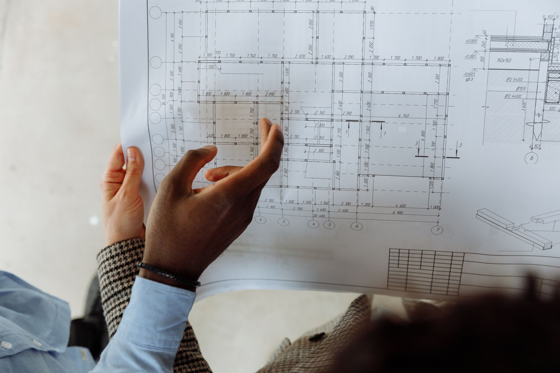
Municipal planning decisions shape how hundreds of thousands of people live, move, and work across a city. When those decisions involve complex zoning changes, new transit corridors, or large infrastructure investments, the gap between a technical document and public understanding can be enormous. A physical architectural model bridges that gap in a way that no slide deck or printed map reliably does. At Moriasi3D Models, we have spent years building detailed models for planning teams, developers, and government agencies across East Africa, and we have seen firsthand how a well-made model changes the tone of a room.
This article is part of our complete guide: Architectural Models for Houses.
Why Municipal Planning Teams Need Physical Models
Urban planning documents are thorough by necessity, but they are written for specialists. When a city council member or a community representative picks up a 200-page zoning report, the ideas inside it stay abstract no matter how carefully the report is written. A physical model puts a proposed masterplan on a table where anyone in the room can immediately see what is being discussed. Technical drawings require training to interpret, while a three-dimensional model communicates spatial relationships intuitively and without prior instruction. That accessibility is not a minor convenience; it is often the difference between a productive meeting and one that stalls over basic misunderstandings. For planning teams who need to move stakeholders toward agreement, that difference matters enormously.
Long-term urban development strategies are especially difficult to communicate to non-technical stakeholders. A model shows how a new mixed-use node connects to existing roads, how building heights step down toward a residential area, and how open space is distributed across a site. These relationships take paragraphs to explain in writing, but they become self-evident at a glance on a well-constructed model. Planners often tell us that the first time a senior official truly understood a corridor project was when they stood over the physical model, not when they reviewed the drawings. That moment of genuine comprehension tends to accelerate decision-making in a way that no report revision can replicate. A model earns its place in the process precisely because it compresses understanding into a single shared experience.
Public consultation meetings are high-stakes moments for any planning team. Misunderstandings during these sessions can delay projects, trigger opposition based on incorrect assumptions, or force expensive revisions to plans that were already well considered. A physical model gives residents and community leaders a shared reference point so that conversations focus on real trade-offs rather than on correcting basic misreadings of the plan. When everyone in the room is looking at the same object, disagreements tend to become more specific and therefore more resolvable. Vague objections give way to pointed questions about particular roads, particular building heights, or particular boundaries. That shift in the quality of discussion is one of the most consistent benefits we observe across municipal consultation processes.
Infrastructure projects, in particular, benefit from physical representation before construction begins. When a county government or a utility agency can show a model of a proposed water distribution hub or a road interchange to council members, those stakeholders can engage meaningfully and raise concerns early. That early engagement builds the kind of institutional confidence that keeps projects moving on schedule. Questions that might have surfaced during construction, when changes are costly, instead arise during the planning phase, when adjustments are still straightforward. We have seen models of infrastructure projects in Nairobi's expanding peri-urban areas serve as the turning point in county government approvals. A physical model is not a luxury for these projects; it is an investment in the efficiency of the planning process itself.
Common Municipal Projects We Model in East Africa
Transit-oriented development is one of the most common briefs we receive from planning teams across the region. Nairobi and other East African cities are actively planning corridors that integrate bus rapid transit, commuter rail, and high-density development, and these layered systems are genuinely difficult to visualize from drawings alone. A physical model of a corridor lets planners, engineers, and council members see how the pieces fit together at a human scale. The relationship between a station entrance, a pedestrian plaza, and the surrounding building frontages is the kind of spatial detail that a plan view simply cannot convey. Seeing those relationships in three dimensions allows a planning team to identify design problems and opportunities before detailed design begins. For corridor projects that will shape mobility across a city for decades, that early clarity is worth a great deal.
Mixed-use city centers and commercial district revitalization projects are another regular area of work for us. These projects typically involve phased development over many years, with multiple landowners, public infrastructure upgrades, and changes to ground-level retail and pedestrian access. Showing all of those elements together in a single model helps planning teams demonstrate how the district will evolve and why each component matters. Funders and institutional investors, in particular, respond well to a model that makes the phasing logic visible and the overall vision coherent. A model transforms what would otherwise be a stack of concept drawings into a compelling, unified argument for a development strategy. That clarity often helps secure the political and financial backing that complex revitalization projects require.
Infrastructure hubs covering water, waste, and power distribution layouts present a specific challenge because the planning logic is often invisible at the surface level. We model these systems in ways that make the layout legible without overwhelming the viewer, using clear zoning and color to distinguish service areas and connection points. Planners working on Nairobi's expanding peri-urban areas have found this approach particularly useful during county government presentations. What looks like a technical drawing in a planning report becomes an immediately readable diagram in three-dimensional physical form. Council members who are not engineers can follow the service logic, ask informed questions, and make decisions with genuine confidence. That outcome is exactly what a good infrastructure model should produce.
Public space designs integrated with surrounding development are an area where physical models add real value at community level. A park, a market square, or a riverfront promenade looks very different from a plan view than it does from a three-dimensional model that shows canopy, seating, circulation, and the buildings that frame the space. When residents can see a model of a proposed neighborhood park, the conversation shifts from skepticism to practical input. People begin suggesting where benches should go, which entry points matter most to them, and how the space connects to routes they already use. That kind of grounded, specific community feedback is far more useful to a design team than generalized approval or disapproval. A model makes that quality of engagement possible at even the earliest consultation stage.
Scale and Detail That Suits Presentation Settings
Choosing the right scale for a model depends on where it will be used and who will be looking at it. A model destined for a council chamber needs to read clearly from across a large table, while a model built for a public forum or an outdoor community meeting needs to be robust enough for close inspection by many people. We discuss these requirements with every client before we begin, because scale decisions affect every other aspect of how the model is built. A scale that is too small loses legibility in a large room, while a scale that is too large makes a model difficult to transport and difficult to comprehend as a whole. The right balance is specific to each project and each presentation context. Getting that balance right is one of the first things we establish in our initial client conversations.
Phasing is one of the most important things a municipal planning model needs to communicate. We often build multi-section models or incorporate removable components that allow a presenter to show Phase 1 on its own, then add Phase 2, then Phase 3, so that the audience can follow the development logic in sequence. This approach is particularly effective when a masterplan spans ten or fifteen years and funding is tied to demonstrable progress at each stage. Stakeholders who struggle to hold a long-term vision in mind tend to engage much more confidently when they can see the plan build up incrementally in front of them. The physical act of adding a phase to the model mirrors the real development process, and that correspondence makes the planning logic feel concrete rather than speculative. For funding presentations and council approvals alike, that effect is genuinely useful.
Context buildings are essential for any model that will be shown to community members who need to understand how a development connects to their existing neighborhood. We typically model the surrounding built fabric at a lower level of detail than the primary site, giving enough information to anchor the new development in a recognizable setting without distracting from the planning proposal itself. This context layer is often what makes a community presentation feel honest rather than promotional. When residents can identify their street, their school, or their local market in the surrounding model, they understand immediately that the planning team has thought about how the proposal fits into a real place. That recognition builds trust in a way that renders and diagrams rarely achieve on their own. A model with good context reads as a planning tool; one without it reads as a marketing piece.
Color coding is a practical tool that we use consistently on planning models. Distinct, consistent colors for residential zones, commercial uses, green space, road infrastructure, and utilities allow a viewer to orient themselves quickly and follow a presenter's explanation without losing track of what they are looking at. We provide a legend with every model so that the color system is documented independently of any single presenter. When a model is used across multiple meetings over several months, that legend ensures consistency even when different team members are presenting. Color decisions are made collaboratively with the client because they need to align with the color language already established in the planning documents. A model that speaks the same visual language as the wider planning package makes the entire communication effort more coherent.
From Planning Documents to Presentation Model
The raw material for a municipal planning model is almost always a mix of technical drawings, GIS data layers, planning reports, and design intent documents. Converting that material into a three-dimensional physical model requires careful reading and, often, a structured conversation with the planning team about which elements are priorities and which are indicative at this stage. We start every project with a thorough review of whatever documents the client can share. That review helps us identify gaps, inconsistencies, and areas where the planning team needs to make decisions before production can proceed. Surfacing those questions early prevents costly revisions later in the process. Our clients consistently tell us that the document review phase alone adds clarity to their own understanding of the project.
Coordinating with planning consultants and architects is a normal part of our process. Municipal projects often involve multiple firms working on different aspects of the same masterplan, and we have found that a short coordination meeting early on saves significant revision time later. Our experience working across East Africa means we are familiar with the standards and conventions that regional planning consultants typically use. We are comfortable reading both AutoCAD drawings and GIS exports, and we can work with planning teams who are still finalizing certain aspects of the design while other sections are already in production. That flexibility is important for municipal projects, where documents are rarely complete and static from the outset. We structure our workflow to absorb that reality rather than treat it as an obstacle.
Revision is built into every municipal model project we take on. Planning processes are inherently iterative, and stakeholder feedback during consultation phases almost always results in changes to layouts, phasing, or land-use boundaries. We structure our production schedule to accommodate at least one significant revision cycle, and we discuss the scope of that flexibility clearly at the start of the project so there are no surprises. Clients who have worked with model makers who treat revisions as extras often find our approach refreshing because it aligns with how planning actually works. We keep project files organized so that when a change comes through, we can implement it efficiently without rebuilding the entire model from scratch. A revision-ready process protects both the client's timeline and our ability to deliver a model that reflects the plan as it actually stands at the time of presentation.
We also produce accompanying materials for every municipal model, including zone legend sheets, phasing diagrams, and concise explanatory notes that describe what each section of the model represents. These materials allow the model to be used independently by council staff or community liaison officers who were not present at the original presentation. A well-documented model has a longer useful life and delivers more value across the duration of a planning process. A model without documentation depends entirely on the institutional memory of the people who commissioned it, and that memory degrades as projects progress and personnel change. Written materials that travel with the model ensure that its meaning is accessible to anyone who encounters it during the consultation period. We consider those materials as integral to the deliverable as the model itself.
Making Models Work in Public Settings
A physical model that will travel between council offices, public consultation venues, and media briefings needs to be designed for that reality from the beginning. We build protective transport cases for all municipal models, sized and padded specifically for the model inside. A model that arrives at a public meeting damaged or misaligned undermines the credibility of the entire planning team, and we take that responsibility seriously. The case design accounts for the model's footprint, its height, and any removable components that need to be stored securely during transit. We test the fit before delivery so that the client can move the model confidently without needing specialist packing knowledge. Reliability in transit is not a secondary concern; it is part of what we deliver.
Photography and video coverage of planning models is increasingly important in Nairobi's media environment, where decisions about major urban projects receive attention from both traditional outlets and social media. We design models with lighting access and clean sight lines in mind, so that a smartphone photograph taken at a public meeting is genuinely informative rather than confusing. We can also advise clients on simple lighting setups that improve how a model reads on camera. A blurry or poorly lit photograph shared widely on social media can misrepresent a planning proposal in ways that are difficult to correct after the fact. Designing for photography from the outset prevents that problem and extends the effective reach of the model beyond the room where it is physically present. In a city like Nairobi, where planning decisions attract significant public interest, that reach matters.
Companion diagrams and legend sheets are as important in public settings as the model itself. When a model is placed in a public venue where it may be viewed without a presenter, clear signage and laminated legend sheets ensure that visitors understand what they are seeing. We produce these materials as a standard part of every municipal model delivery. The language on these sheets is written for a general audience, not for planners, so that a resident who stops to look at the model during an open public session can follow the key ideas without assistance. We work with the client to ensure the terminology reflects the language the planning team is already using in its public communications. Consistency between the model's labeling and the wider communication campaign helps build a coherent public narrative around the project.
Physical placement of a model in a meeting room or public venue affects how many people can engage with it at the same time. We think about this during the design phase, building models at footprints and heights that allow a group to gather around all four sides simultaneously. A model that four or five people can examine together at once is far more effective as a consultation tool than one that requires viewers to take turns at a single viewing angle. We advise clients on table height and room layout as well, because even a well-designed model loses impact if it is positioned against a wall or placed too high for comfortable viewing. These practical recommendations come from years of observing how models are used in real meeting environments across Nairobi and the wider region. Getting the placement right is a small effort that makes a meaningful difference to how the model performs in the room.
Working With Us on Your Municipal Project
We work directly with planning teams, government agencies, and development consultancies to translate masterplans and planning documents into physical models that perform well in real presentation settings. Our process starts with a consultation at our studio on Mucai Road, Off Ngong' Road, where we review the available documents and agree on scale, detail level, phasing representation, and timeline. That first conversation is where we align on what the model needs to do before we begin production. We find that clients who come to that initial meeting with a clear sense of their presentation schedule and their key stakeholder audiences are able to make faster decisions about the model's priorities. When that information is less defined, we help clients work through it as part of the briefing process. Either way, we leave the first meeting with a shared understanding that guides the entire project.
Our experience across East African cities means we understand the specific contexts that Nairobi and regional municipal projects involve: the density gradients, the infrastructure constraints, the mix of formal and informal development, and the stakeholder dynamics that shape public consultation. We do not apply a generic approach and expect it to fit. We ask questions, we listen to the planning team's priorities, and we build accordingly. A model made for a peri-urban water infrastructure project in Nairobi County requires different decisions than one made for a central business district revitalization project, even if both are municipal planning models at the same scale. We bring that contextual judgment to every project, and it shows in how well the finished model serves its specific purpose. You can see more about how we approach these projects on our services page.
Revisions and updates are part of how we work, not an exception to it. As a masterplan moves through its consultation phases and stakeholder feedback shapes the final design, we can update the model to reflect those changes. We keep project files and documentation organized so that revisions are efficient and traceable. From the first consultation through production, revision cycles, and final delivery, we manage the entire process at our Nairobi studio. We have built models for clients who needed delivery in four weeks and for projects with longer timelines that required careful staging. Whatever your project requires, we welcome the conversation.
A well-made physical model does not replace the planning process. It supports it, accelerates it, and makes it genuinely inclusive by giving every stakeholder, regardless of their technical background, a clear and honest view of what is being proposed. If your planning team is preparing for a public consultation, a council presentation, or a funding milestone, Moriasi3D Models is ready to help you build the tool that makes that moment work.
See everything Moriasi3D Models can do for you.
Visit Moriasi3D Models →